Bus Stop Bus

Bus stop bus with locations and descriptions.

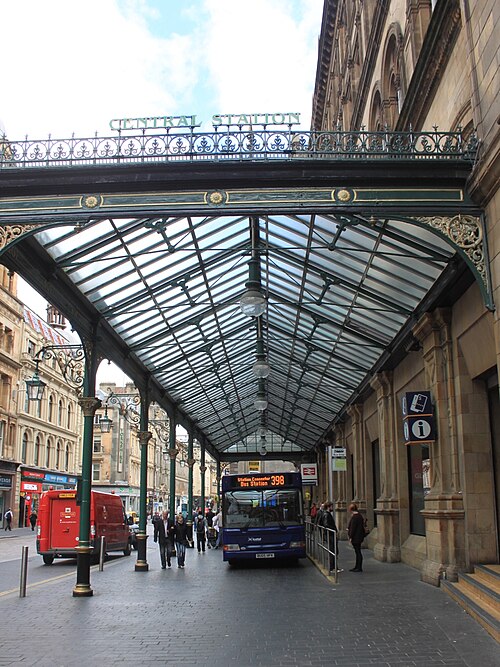
A commuter guide to bus stops in Glasgow
Bus Stop Bus

A commuter guide to bus stops in Glasgow

Glasgow offers a comprehensive public transport network that connects the city’s vibrant neighborhoods, historic landmarks, and commercial hubs. Understanding how to navigate the bus system ensures a seamless travel experience for residents and visitors alike. This guide provides essential information on locating bus stops, planning your journey, and utilizing Glasgow’s extensive transport infrastructure. How to Locate Bus Stops in Glasgow The city features thousands of designated bus stops, each clearly marked by signage. Most stops display route numbers, timetables, and operator information. To identify your stop, look for the iconic circular bus stop markers or sheltered stands commonly found throughout the city centre and surrounding suburbs. For real-time accuracy, we recommend u...
Bus Stop Bus

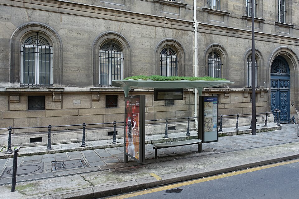
How city authorities design environmentally-friendly bus stops

Modern urban planning faces a critical challenge: balancing rapid population growth with the urgent need for environmental sustainability. As cities expand, municipal authorities increasingly recognize the bus stop as more than a simple waiting area. Today, city planners are reimagining these transit points as vital components of a greener, more resilient urban landscape. By integrating sustainable design into public infrastructure, authorities improve air quality, manage stormwater, and bolster biodiversity. This shift represents a fundamental evolution in how we view the daily commute. The Rise of "Living Roofs" and Biodiversity Many forward-thinking cities now install "bee stops"—bus shelters topped with sedum, wildflowers, or native grasses. These living roofs provide essential ha...
Bus Stop Bus

A guide to the key bus stops in London

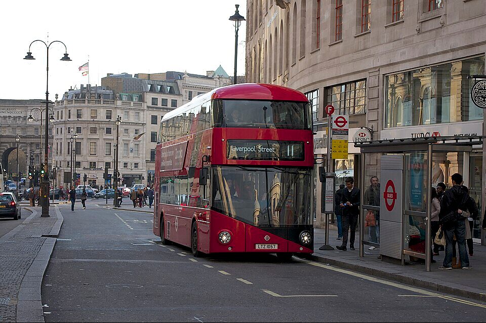
London’s red bus network serves as the lifeblood of the capital, connecting thousands of neighborhoods with unparalleled efficiency. With over 19,000 stops across the city, navigating the system requires an understanding of the major interchanges that anchor London’s transport infrastructure. Whether you are a daily commuter or a visitor exploring the city, identifying these key hubs will streamline your journey. Victoria Coach and Bus Station Victoria serves as the primary bus stop for both domestic and international travelers. Located adjacent to the National Rail and Underground stations, the bus terminals here handle high volumes of passenger traffic. This hub provides seamless connections to Gatwick Airport, regional coach services, and a vast array of central London bus routes. Its...
Bus Stop Bus

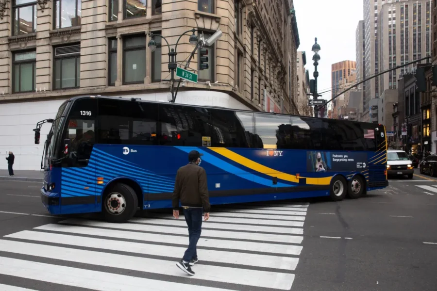
Understanding Circulator Bus Routes in New York City

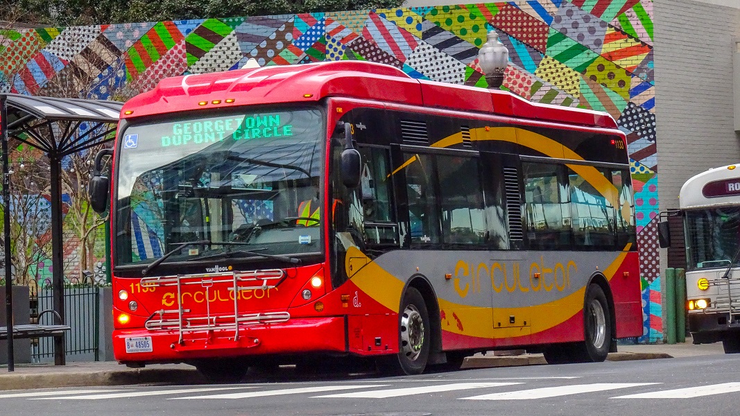
Navigating the bustling streets of New York City requires an efficient, interconnected transportation network. While the MTA subway system serves as the backbone of city travel, the bus network provides essential local connectivity. Among these services, "circulator" routes play a vital role in moving passengers efficiently across high-density neighborhoods, business districts, and transit hubs. What Are Circulator Bus Routes? Circulator routes—often referred to as "loop" or "shuttle" services—operate on shorter, localized paths compared to standard crosstown or radial bus routes. These buses travel in defined loops within a specific area, connecting key destinations such as subway stations, hospitals, commercial corridors, and residential centers. The primary goal of a circulator rou...
Bus Stop Bus

How to identify MTA bus stops in New York City

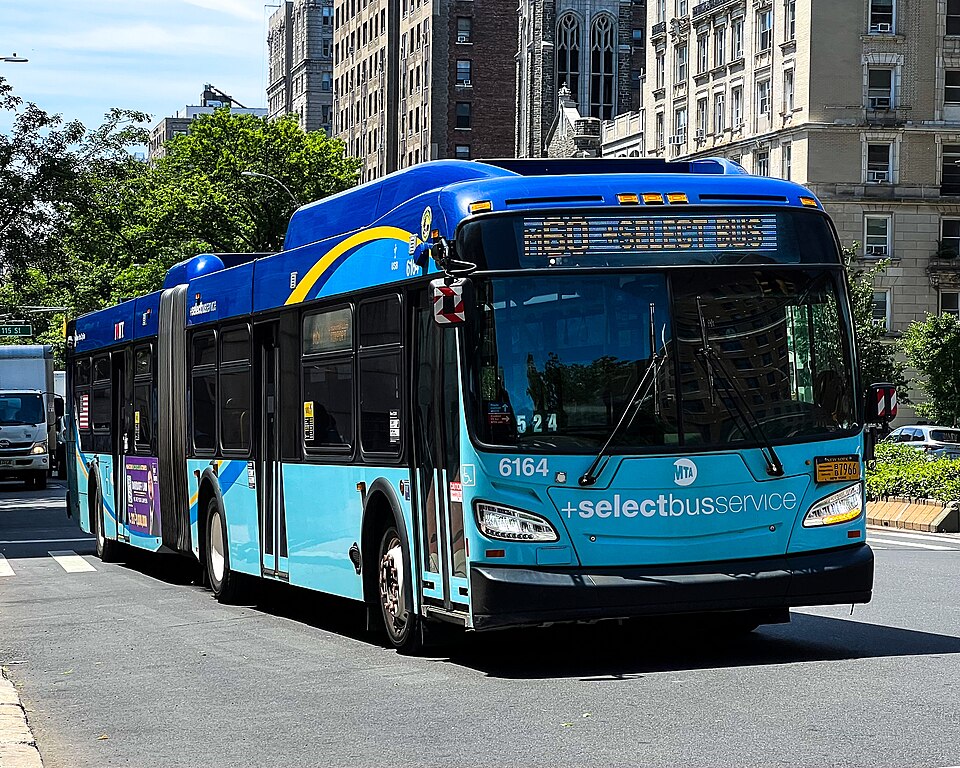
Efficient navigation is essential for residents and visitors alike when traversing the complex landscape of New York City. The Metropolitan Transportation Authority (MTA) operates an extensive bus network that serves all five boroughs, connecting millions of commuters to their destinations daily. Understanding how the MTA identifies and names its bus stops simplifies your travel experience and ensures you reach your destination with confidence. How MTA Names Its Bus Stops The MTA follows a structured naming convention based primarily on geography and street intersections. Most bus stops carry the names of the two converging streets where the stop is physically located. For example, a stop designated as "5th Ave/W 42nd St" clearly indicates that the boarding area sits at the intersection ...
Bus Stop Bus

Discover the 4 main bus stops in Accra

Ghana's central city, Accra, draws thousands of commuters every day.. Whether you are a local resident, a business traveler, or an adventurous tourist, understanding the city’s transport network is essential for a seamless journey. Public transportation in Accra relies heavily on a network of major bus terminals, commonly referred to as "tro-tro" stations or lorry stations. This guide highlights the primary hubs you must know to commute the capital effectively. The Heart of Accra’s Transport Network The transport system in Accra operates through strategically located stations that connect the city’s outlying districts to its commercial center. These hubs facilitate movement to every corner of the Greater Accra Region and beyond, serving as the gateways for inter-city travel. 1. Circle ...
Bus Stop Bus

Where does the Express Bus stop in Manhattan?

The  Express Bus in Manhattan stops between 14th Street and 57th Street. The service offers a fast, comfortable alternative to the subway for commuters traveling between the outer boroughs and Manhattan. Knowing the exact locations of Manhattan stops helps riders plan efficient trips, avoid missed connections, and make the most of the service. Below you will find a concise guide to the major express‑bus routes that serve Manhattan, the streets where each route stops, and practical tips for using the service. 1. Core Express‑Bus Routes that Enter Manhattan Route Origin (Borough) Manhattan Drop‑Off Streets Typical Service Hours X17 Staten Island 6th Avenue & 42nd St, 8th Ave & 34th St, 7th Ave & 23rd St, 6th Ave & 14th St 6 am – 10 pm (weekdays) ...
Bus Stop Bus

How to Find a Bus Stop Near Me. Follow this universal city guide.

Introduction Finding a bus stop near me quickly can make the difference between a smooth commute and a stressful scramble. Below you will discover a step‑by‑step method that combines digital tools, local resources, and simple on‑the‑ground checks. Follow this guide, and you will locate the nearest bus stop within minutes, no matter where you are. 1. Use a Dedicated Transit App Choose an app that covers your region – most metropolitan areas provide an official mobile application (for example, “CityTransit,” “MetroBus,” or “TransitLive”). Enter your current address or enable GPS – the app reads your location and highlights all nearby stops. Filter results – you can sort stops by distance, route number, or service frequency. Save favorite stops – the app stores the locations you u...
Bus Stop Bus

What are the different types of bus stops? Discover the varieties.

Bus stops come in many shapes, sizes, and locations. Understanding the variety helps riders plan trips more efficiently and enables municipalities to design a transit network that serves the community’s needs. Below, we outline the most common bus-stop configurations, describe their key characteristics, and explain when each type works best. 1. Curbside (On-Street) Stops A single point on the roadway where the bus pulls up to the curb. The stop may consist of a simple sign, a painted “BUS” marking, or a small shelter. When it’s used: Urban neighborhoods, downtown corridors, and residential streets where space is limited. Curbside stops enable quick boarding and alighting without requiring a separate lane. Minimal infrastructure, low installation cost. Easy to integrate into existing...
Bus Stop Bus

Why the Golders green bus station stands out in London travel

Welcome to Golders Green Bus Station — a vibrant transport hub connecting communities, cultures, and countless destinations across North London. This modern interchange offers reliable, frequent, and accessible bus services that keep you moving. The station stands at the heart of a thriving neighborhood known for its rich heritage, green spaces, and a busy high street. With seamless links to the Golders Green Underground station (on the Northern line), National Rail services, and a wide network of bus routes. So getting where you need to go has never been easier. Routes 102, 113, 134, 210, 240, 268. There are many more that connect you to Camden, Hampstead, Finchley, Edgware, central London, and beyond. Special design for maximum passenger comfort The principals designed this station ...
Bus Stop Bus

How to understand the Quincy transit lines bus route

Getting around this South Shore city is made easier by its resilient transit system, encompassing a variety of bus routes, stops, and even commuter rail connections. Understanding these different options is key to efficiently exploring all that Quincy has to offer. Here are the Quincy transit lines Quincy routes that serve the city: North: This stop is a popular choice for commuters heading to and from Boston, offering ample parking and easy access to Furnace Brook Parkway. Wollaston: This stop, which is in the center of Wollaston, offers easy access to residential neighborhoods, local companies, and Wollaston Beach. The Red Line provides a reliable and frequent connection to Boston and Cambridge, making it ideal for commuters, students, and anyone looking to explore the wider ...
Bus Stop Bus

Randolph County Bus Transportation – Its Mandate and Operations

The Randolph County transportation offers a mix of trip options to meet different needs. From highways connecting to larger cities to local transit services, understanding the available resources such as routes ad bus stops is key to navigating the county. Roads and Highways: At the heart of Randolph County's transportation infrastructure are its roads and highways. Major routes like [Mention Major Highways - e.g., US Highway 64, Interstate 73/74] provide vital connections to neighboring counties and metropolitan areas like [Mention Nearby Cities - e.g., Greensboro, Asheboro, Charlotte]. These highways are crucial for commuting to work, accessing regional services, and facilitating the movement of goods. Driving is arguably the most prevalent mode of transportation in Randolph County,...