

Designing an effective bus route is a complex undertaking, blending sophisticated data analysis with a deep understanding of community needs and urban dynamics. It’s not merely about drawing lines on a map; it’s about crafting a transportation lifeline that connects people to opportunities, reduces congestion, and enhances urban liveability. The process demands a meticulous approach, integrating various factors from initial data collection to ongoing evaluation.
You need a comprehensive appraisal of the road conditions
The journey of designing a bus route typically begins with a thorough needs assessment and data collection. Urban planners and transportation engineers meticulously analyze demographic data, land-use patterns, and existing travel behaviors. They identify key origins and destinations – residential areas, employment centers, educational institutions, hospitals, and commercial hubs. Understanding where people live, work, and want to go is fundamental. This involves examining population density, employment statistics, household income levels, and even school enrollment figures to gauge potential demand.
With this foundational data, the design team then moves to route conceptualization. A core challenge is balancing directness with coverage. A direct route offers faster travel times but might bypass potential riders. Conversely, a route designed for maximum coverage might make detours, increasing journey times for others. Key considerations include ensuring routes pass close to major activity centers, provide reasonable walking distances to stops, and offer efficient connections to other public transit modes, such as rail or other bus lines. The goal is to create an integrated network that serves the maximum number of people effectively and efficiently.
You must determine efficiency of the road network
Operational feasibility is another critical layer. Planners must assess road infrastructure, including pavement quality, turning radii, and potential bottlenecks. Traffic congestion, particularly during peak hours, significantly impacts reliability and schedules. Practical aspects like safe and accessible bus stop locations, appropriate layover points for drivers, and the efficient allocation of vehicles and personnel also weigh heavily in the design. Economic viability is paramount; routes must be cost-effective to operate while still providing a valuable public service.
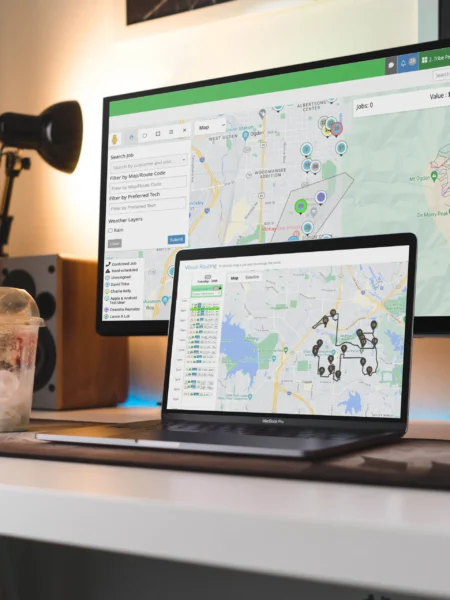
Modern bus route design heavily leverages technology. Geographic Information Systems (GIS) mapping allows planners to visualize demographic data, existing infrastructure, and proposed routes in intricate detail. Sophisticated simulation software can model the impact of different route configurations on travel times, passenger loads, and operational costs before a single bus hits the road. This iterative process allows for optimization and refining, predicting performance and identifying potential challenges.
Pursue research and development even after completion
Finally, public engagement and continuous evaluation are indispensable. Proposed routes are often presented to the community for feedback, allowing residents, businesses, and advocacy groups to voice concerns and offer valuable local insights. This input can lead to crucial adjustments. Once implemented, routes are not static; they are continually monitored, with data on ridership, punctuality, and customer satisfaction guiding future modifications and improvements to ensure the network remains responsive to an evolving city.
Summary
Designing a bus route is a dynamic process that marries analytical rigor with community-centric vision, striving to create a public transportation system that is both efficient, equitable, and sustainable.
