

Engineering Urban Mobility: How Cities Design Public Bus Routes
A functional public transit network serves as the circulatory system of a modern city. It connects people to their workplaces, schools, and communities, driving economic growth and social inclusion. Have you ever wondered why a bus route follows a specific path or stops at particular intervals? The process involves a sophisticated blend of data analysis, urban planning, and community feedback.
Analyzing Travel Patterns
Planners begin by studying how people move. They analyze demographic data, transit ridership statistics, and employment density maps to identify major travel corridors. Modern transit agencies utilize GPS data from smartphones and smart card ticketing systems to pinpoint high-demand routes. By creating “Origin-Destination” matrices, officials determine where residents start their journeys and where they truly need to go. This data-driven approach ensures that buses serve the areas with the highest potential for ridership.
Balancing Efficiency and Access
Designers face a constant challenge
Balancing operational efficiency with comprehensive coverage. A direct route between two major hubs maximizes speed, but it may leave residents in low-density neighborhoods without service. To solve this, agencies often design a hierarchical network.
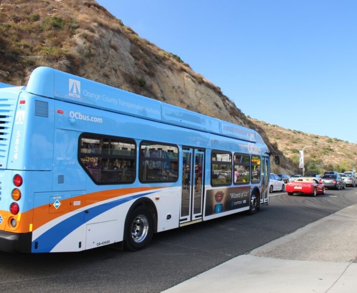
High-Frequency Corridors
These routes connect high-density areas with frequent, rapid service, often utilizing dedicated bus lanes.
Local Feeders
These routes circulate through residential subdivisions, transporting passengers to central transit hubs where they can transfer to the high-frequency network.
Integrating Urban Infrastructure
Geography and existing infrastructure significantly dictate route design. Planners must consider road width, bridge load capacities, and turn radii. Furthermore, they synchronize routes with other modes of transport. A well-designed bus network acts as a seamless extension of subway lines, commuter rail, and cycling paths. By placing transit hubs at strategic interchange points, agencies reduce travel times and simplify the passenger experience.
The Critical Role of Public Input
Data provides the logic, but the public provides the context. Cities frequently hold town hall meetings and digital surveys to gather feedback from those who use the system daily. Residents often highlight nuances that abstract data models miss—such as unsafe walking paths to stops or shifts in local neighborhood activity. Transit planners integrate this “ground truth” to refine routes, ensuring the final network respects the needs of the diverse populations it serves.
Continual Optimization
City growth never stops, and neither does bus route planning. As urban centers expand and travel habits shift, agencies conduct regular performance audits. They adjust schedules, add express services, or reroute lines to account for new developments. Through constant iteration and a commitment to data-informed design, transit agencies provide the essential reliability required to keep a city moving forward.
Summary
Are you interested in how these planning decisions impact your local commute? Explore our interactive maps and upcoming public hearing schedule to get involved in the future of our city’s transit.
